Log in
All resources
Create a design
38,267 Free Images of 1893 Maps
maps of world war i by the daily telegraph
maps made in the 17th century
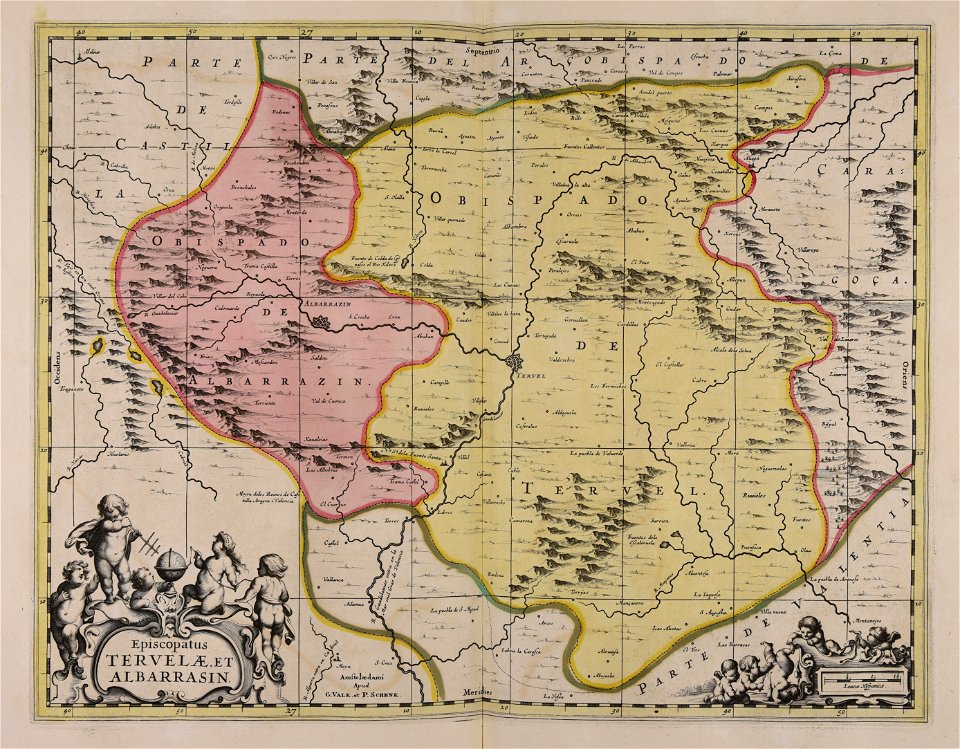
gerard valck
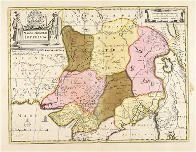
maps by pieter schenk (i)
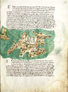
atlantis magni tomus quartus (biblioteca comunale di trento)
provided by landsbókasafn íslands
maps from the mechanical curator collection
maps from the mechanical curator collection available to georeference
university of toronto wenceslas hollar digital collection
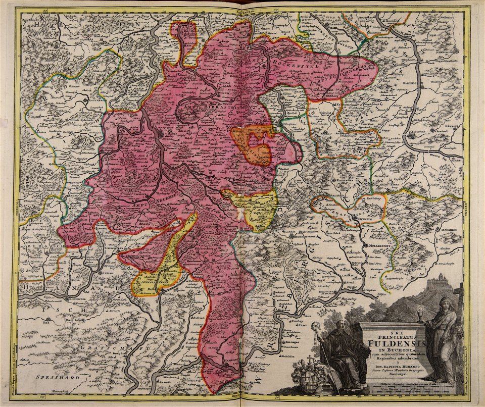
johann baptist homann
provided by landsbókasafn íslands
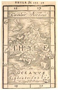
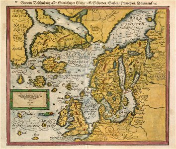
16th-century maps of iceland
provided by landsbókasafn íslands
16th-century maps of iceland
provided by landsbókasafn íslands
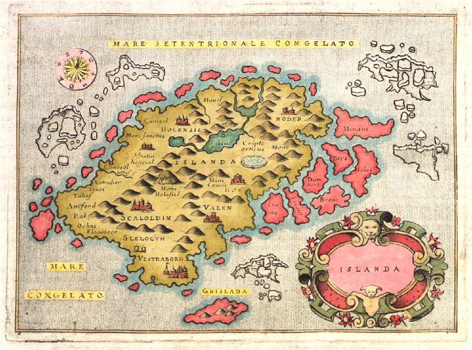
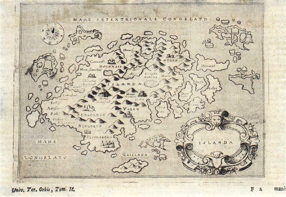
18th-century maps of iceland
provided by landsbókasafn íslands
18th-century maps of iceland
maps in art
disorder
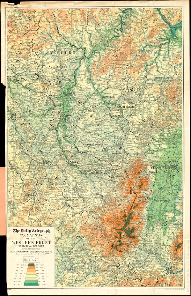
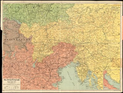
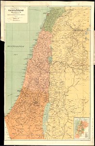
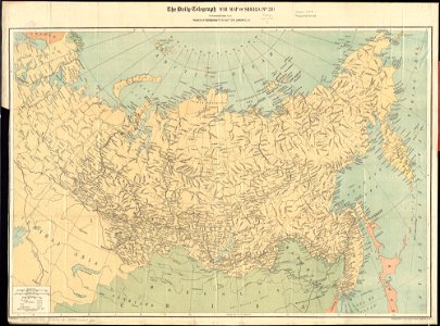
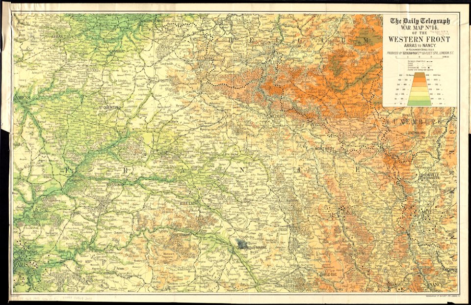
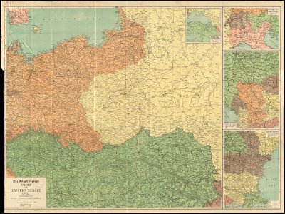
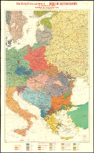
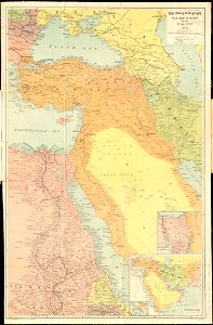
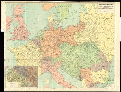
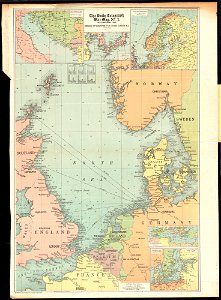
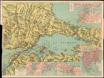
maps of world war i by the daily telegraph
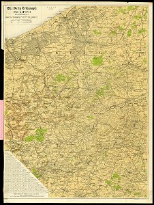
maps of world war i by the daily telegraph
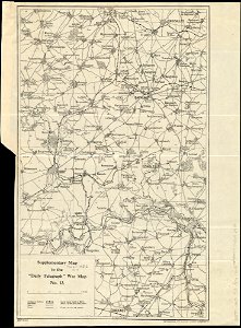
maps of world war i by the daily telegraph
maps of world war i by the daily telegraph
maps of world war i by the daily telegraph
maps of world war i by the daily telegraph
maps of world war i by the daily telegraph
maps of world war i by the daily telegraph
maps of world war i by the daily telegraph
maps of world war i by the daily telegraph
maps of world war i by the daily telegraph
maps of world war i by the daily telegraph
maps of world war i by the daily telegraph
maps of world war i by the daily telegraph
maps of world war i by the daily telegraph
maps of world war i by the daily telegraph
maps of world war i by the daily telegraph
maps of world war i by the daily telegraph
maps of world war i by the daily telegraph
maps of world war i by the daily telegraph
maps of world war i by the daily telegraph
maps of world war i by the daily telegraph
maps of world war i by the daily telegraph
maps of world war i by the daily telegraph
maps of world war i by the daily telegraph
liber insularum archipelagi (royal museums greenwich)
maps of syros
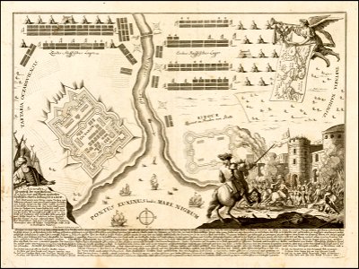
russo-turkish war (1735—1739)
maps by matthäus seutter
theatrum urbium (1610)
old maps of rouen
geographical illustrations by coronelli
old maps of the peloponnese
geographical illustrations by coronelli
old maps of the peloponnese
old maps of turin
1674 engravings
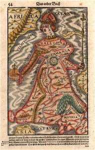
cosmographia (1600) by sebastian münster
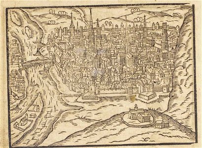
old maps of moscow
old maps of lower saxony
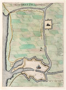
greetsiel
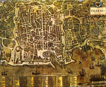
palermo
1581
people playing card games in art
arkitektur og design
la rioja (spain) in the 19th century
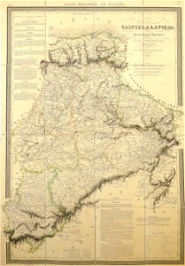
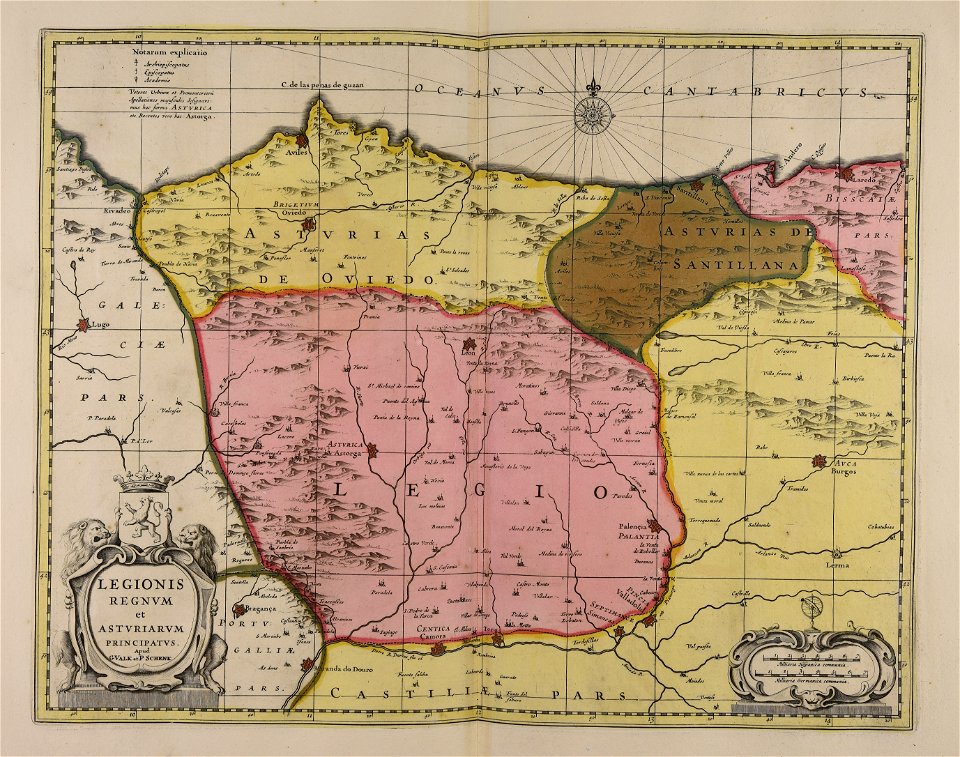
cantabria in the 19th century
18th-century maps of hispaniola
1780 in the caribbean
maps from the mechanical curator collection
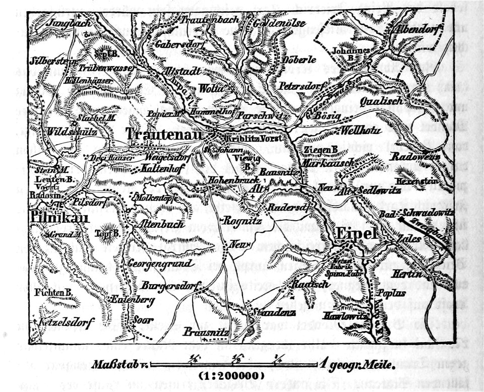
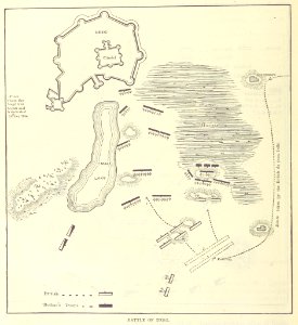
battle of trautenau
portrait paintings by eilif peterssen
alexander kielland
maps with cartouches
curonian
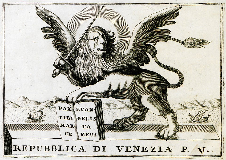
cartography
bohemia
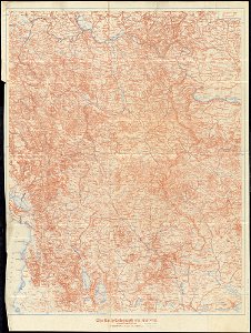
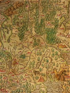
bombay and western india (1893)
old maps of mumbai
bombay and western india (1893)
old maps of mumbai
bombay and western india (1893)
old maps of mumbai
university of toronto wenceslas hollar digital collection
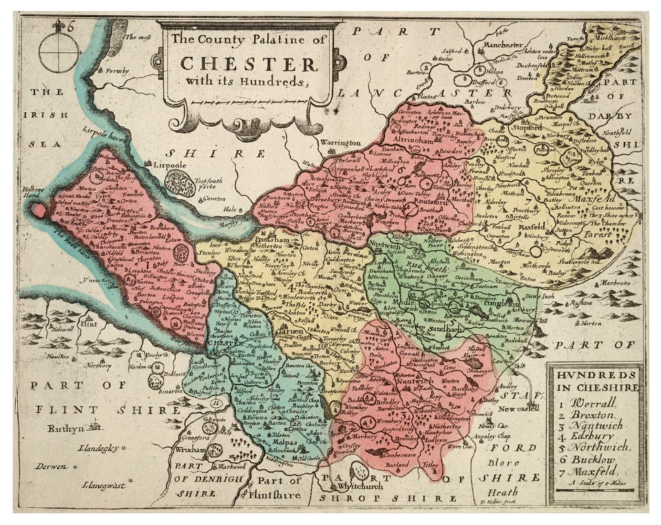
old county maps of cheshire
university of toronto wenceslas hollar digital collection
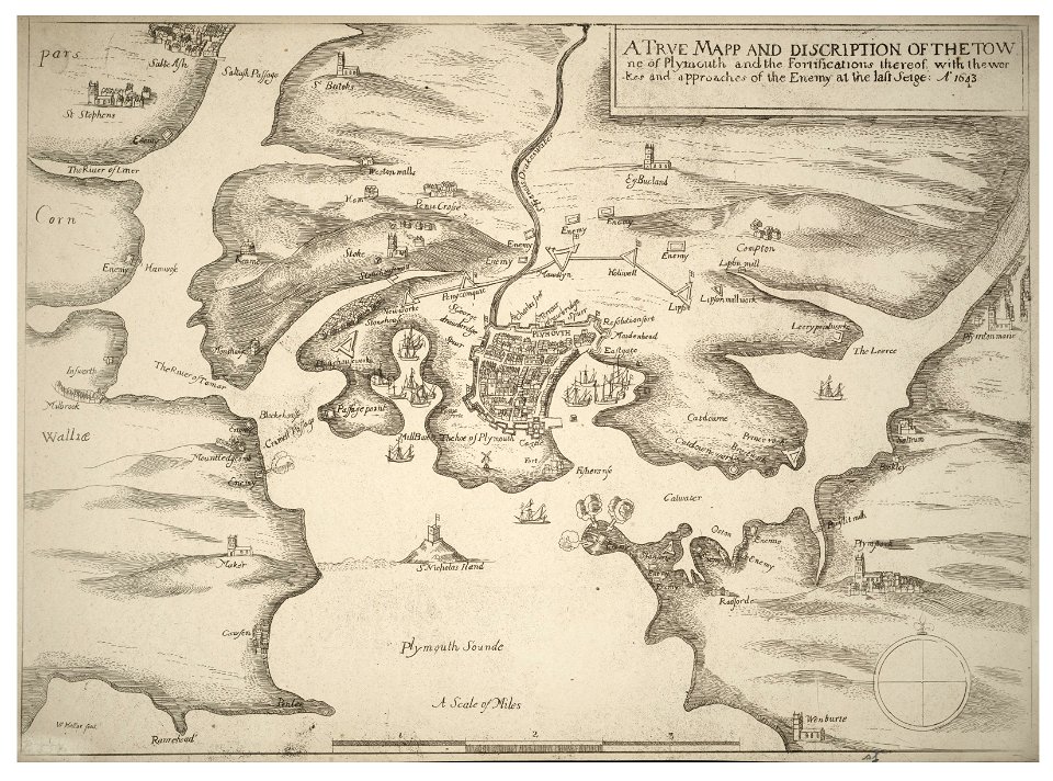
english civil war
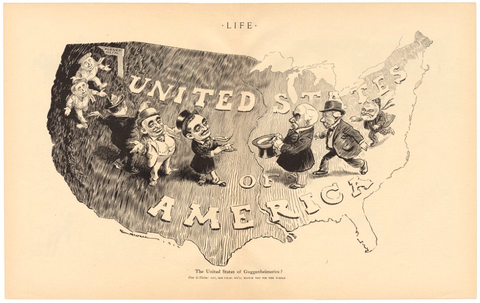
life
1912
university of toronto wenceslas hollar digital collection
old county maps of sussex
university of toronto wenceslas hollar digital collection
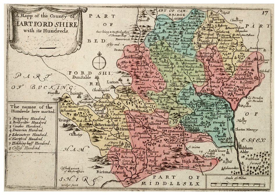
history of watford
engravings of theatrum europaeum
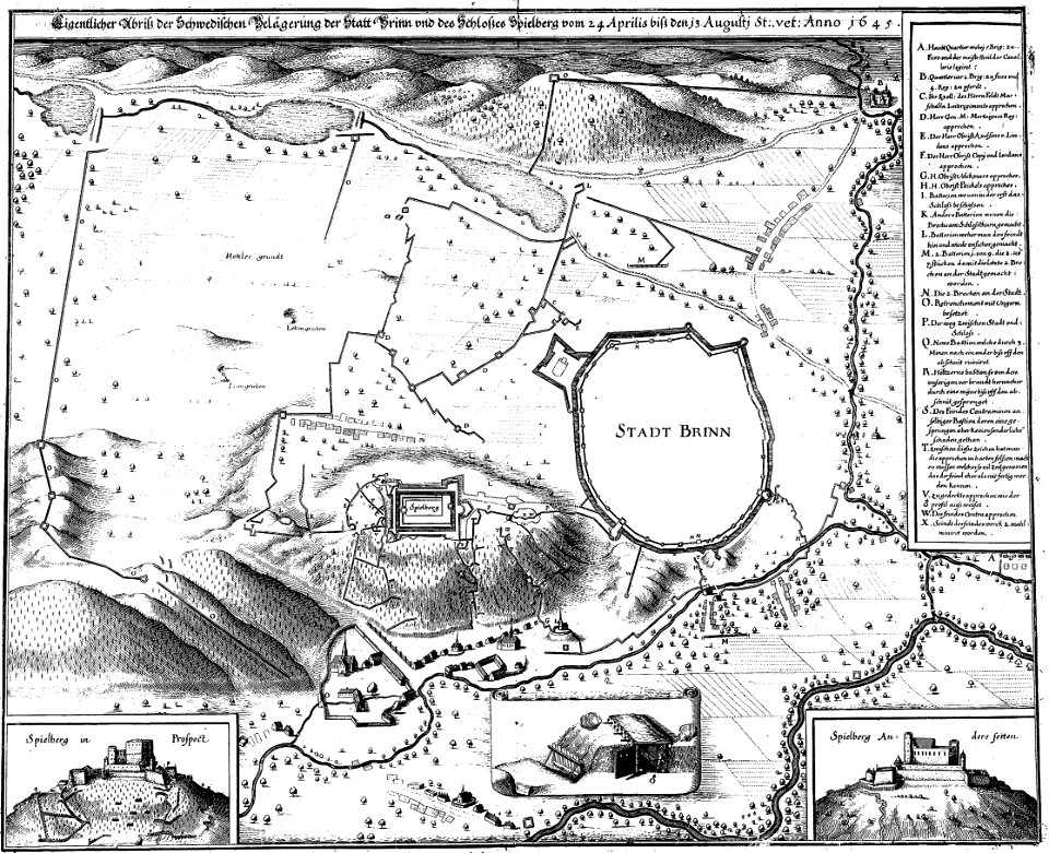
1645 maps
drawings in the stadsarchief amsterdam
anthonis van den wijngaerde
prints from the peace palace library
utrecht in the 18th century
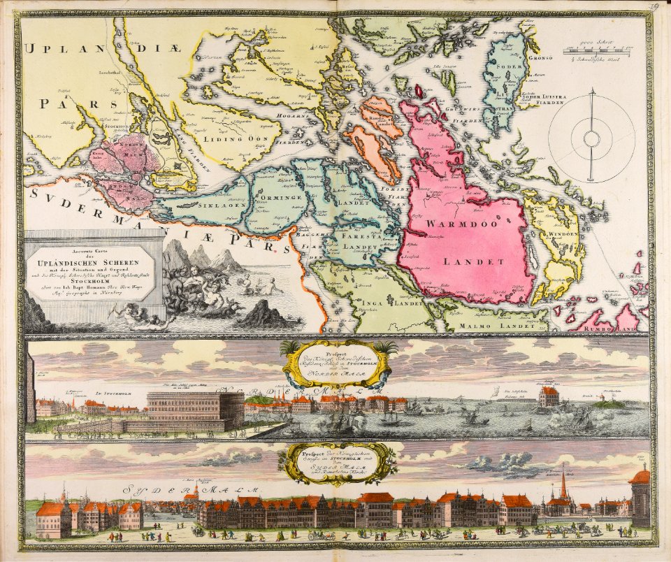
18th-century maps of stockholm
veduta
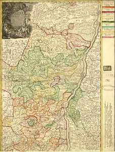
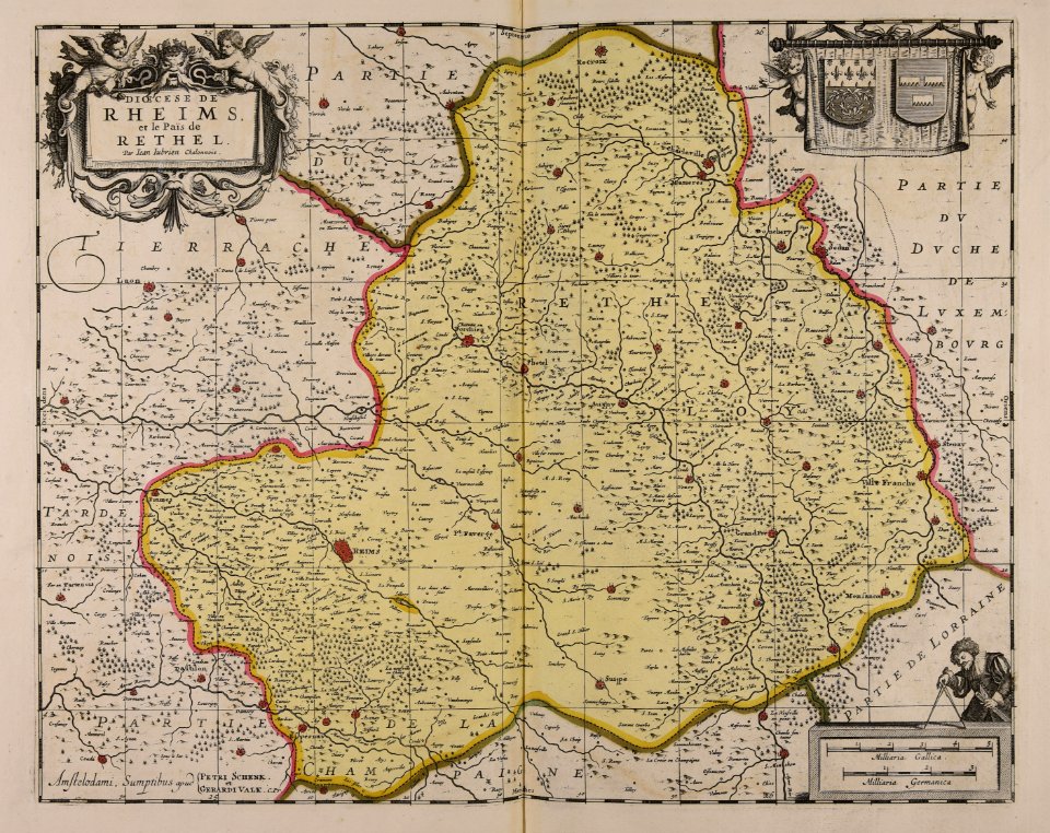
17th-century maps of france
maps with cartouches
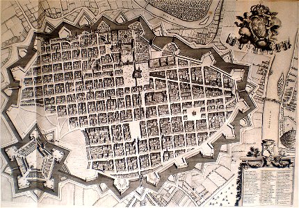
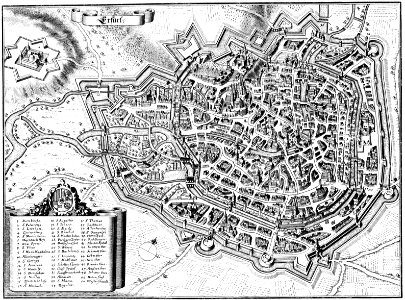
maps of erfurt
erfurt
collections de la bibliothèque nationale et universitaire de strasbourg
johann baptist homann
maps made in the 17th century
gerard valck
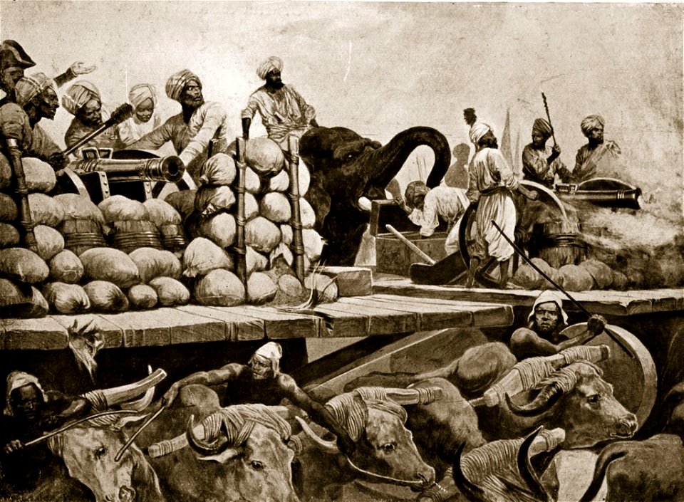
maps from the mechanical curator collection
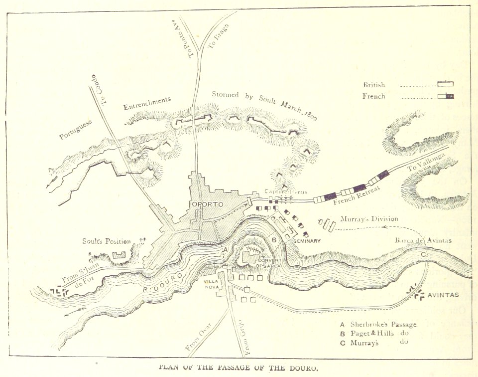
british battles on land and sea
maps from the mechanical curator collection
british battles on land and sea
atlantis magni tomus tertius (biblioteca comunale di trento)
maps made in the 17th century
maps made in the 17th century
gerard valck
maps made in the 17th century
gerard valck
maps made in the 17th century
gerard valck
maps made in the 17th century
gerard valck
collections de la bibliothèque nationale et universitaire de strasbourg
old maps of asia
maps made in the 17th century
gerard valck
mannheim in the 17th century
maps of mannheim
maps made in the 17th century
nicolaes visscher ii
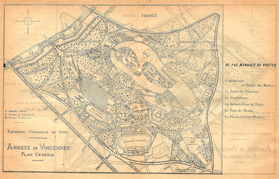
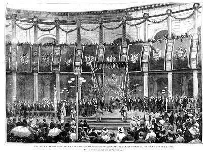
illustrations du catalogue remboursable de l'expo 1900
maps of the exposition universelle (1900)
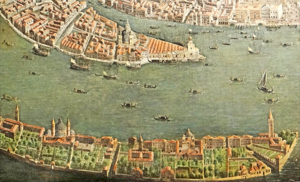
paintings of san giorgio maggiore (venice)
17th-century paintings from italy
maps made in the 17th century
gerard valck
maps made in the 17th century
nicolaes visscher ii
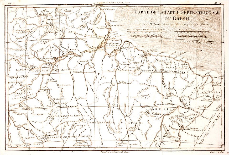
1780 in brazil
1780 maps
maps made in the 18th century
johann baptist homann
maps of waterways in the netherlands
collections of stadsarchief delft
maps made in the 18th century
johann baptist homann
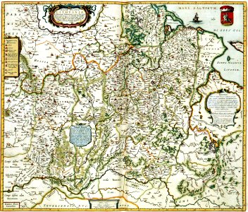
maps made in the 17th century
gerard valck
maps from the mechanical curator collection
british battles on land and sea
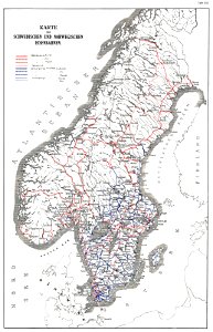
history of rail transport in norway
rail transport maps of norway
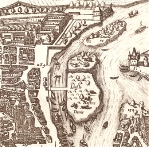
old maps of île de la cité
île saint-louis
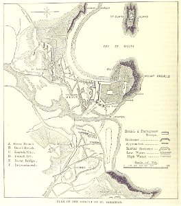
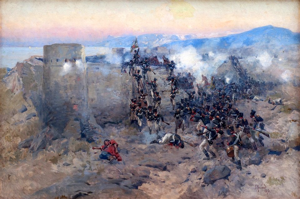
works by richard caton woodville, jr.
battles involving the united kingdom
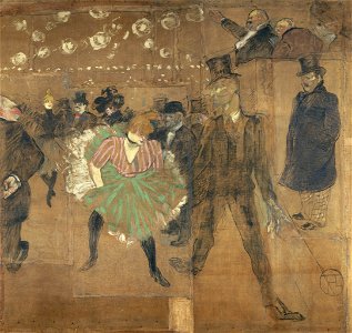
foire du trône
1895 in paris
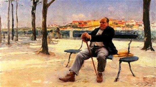
portrait paintings in the pinacoteca do estado de são paulo
1893 paintings
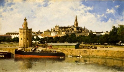
historical images of torre del oro
guadalquivir in art
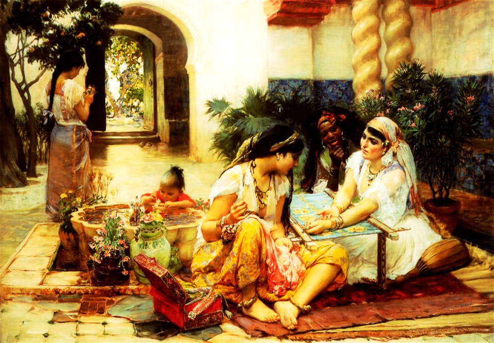
africans in 19th-century art
1889 paintings
arkitektur og design
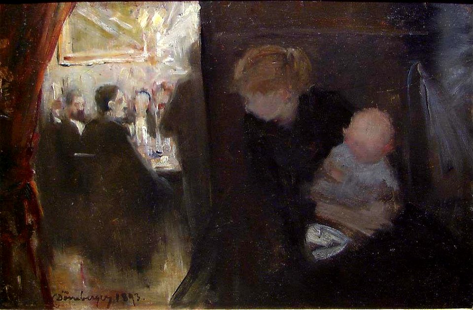
smoking room
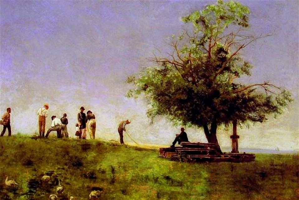
net mending in art
1881 paintings
tempera on canvas
frame painting
bengali
jr
19th-century paintings of battles
history of iran
19th-century paintings in the metropolitan museum of art
1893 oil on canvas paintings in the united states
courtyard of palacio de carlos v
alhambra in art
oil on panel
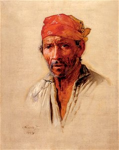
glassblower
19th-century paintings in the museu nacional de belas artes
1893 paintings
landscape paintings of the united states
1891 paintings
8401 - 8500 of 38,267
Next page
/ 383